The Collection·Room III · Maps·The Thirteen Colonies
Click the sheet to inspect it up close
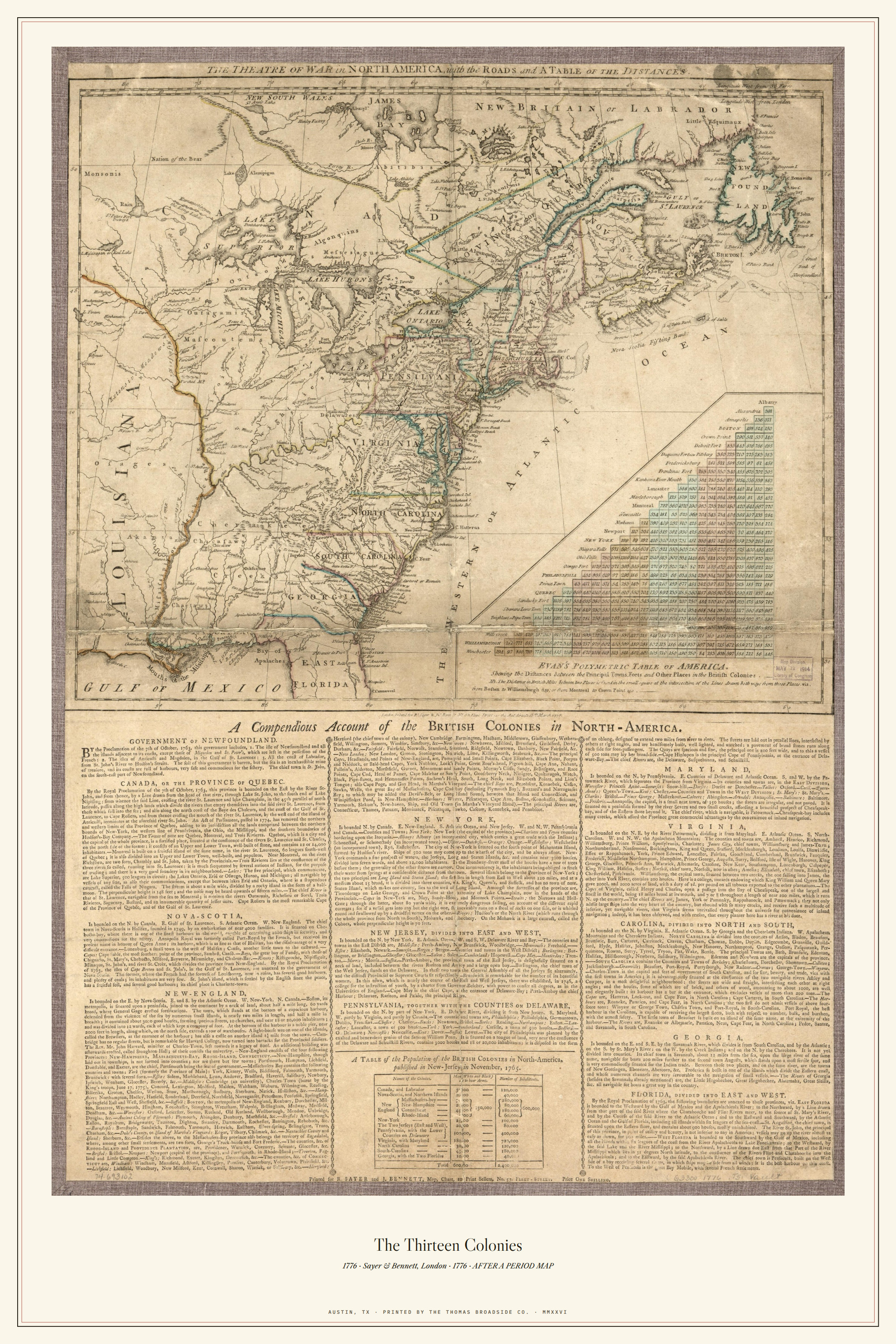
1776 · AFTER A PERIOD MAP
The Thirteen Colonies
The Theatre of War in North America, 1776: half map, half letterpress. A period broadside in the truest sense.
digital$12Instant download · 8.5×11, 11×17 & 18×24 · print it tonight
print$4818 × 24 on 100 lb cream cover · off our press · in a tube
edition$175Numbered of 250 · cotton paper · embossed maker's mark · inspected & numbered by hand
| source | Library of Congress, Geography & Map Division · Sayer & Bennett, 1776 · item 74693102 |
|---|---|
| typeface | Caslon captions |
| paper | 100 lb cream cover, 24 x 36 · sized to the plate |
| press | Thomas Graphics, Austin, Texas |
| edition | Numbered of 250, cotton paper, embossed maker's mark |
“The Theatre of War in North America, with the roads and a table of the distances,” published by Sayer & Bennett, London, 1776, from Library of Congress public-domain holdings. The plate carries the colonies above and a compendious letterpress account below: a map that is itself a broadside, which is why it hangs in this catalog.
Rolled in a tube from Austin. Free U.S. shipping on prints over $75. Every sheet inspected by hand before it leaves the shop.
See where it comes from
History has a pulse
75 seconds: our Austin presses, the founding story, and the Western Canon.