The Collection·Room III · Texas·The Republic of Texas
Click the sheet to inspect it up close
1844 · AFTER EMORY
The Republic of Texas
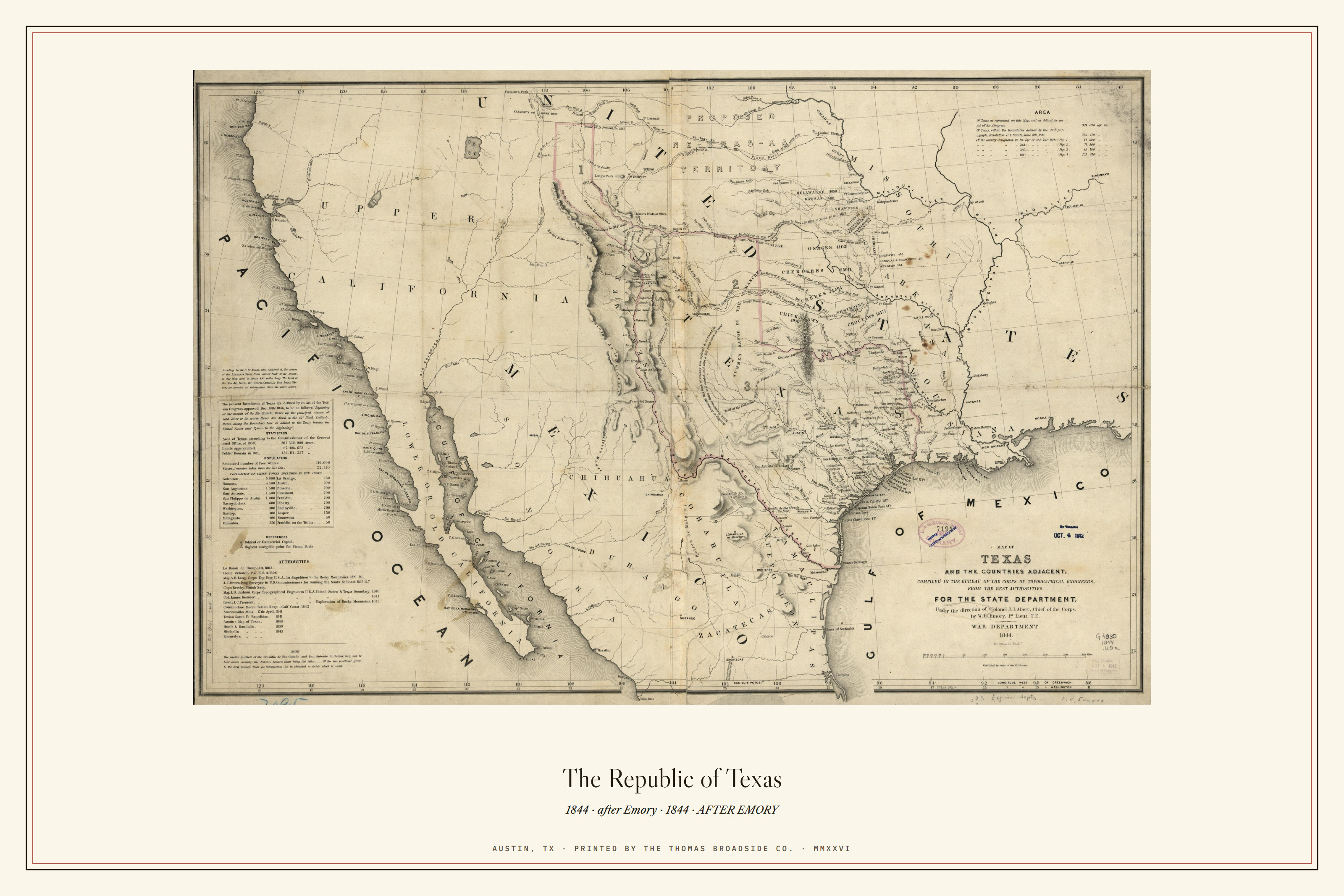
After Emory, 1844: the Republic mapped in its last year before statehood.
digital$12Instant download · 8.5×11, 11×17 & 18×24 · print it tonight
print$4818 × 24 on 100 lb cream cover · off our press · in a tube
edition$175Numbered of 250 · cotton paper · embossed maker's mark · inspected & numbered by hand
| source | Library of Congress, Geography & Map Division · Emory, 1844 · item 2003627046 |
|---|---|
| typeface | Caslon captions |
| paper | 100 lb cream cover, 24 x 16 (landscape) · sized to the plate |
| press | Thomas Graphics, Austin, Texas |
| edition | Numbered of 250, cotton paper, embossed maker's mark |
William H. Emory’s 1844 “Map of Texas and the countries adjacent,” engraved by William J. Stone, the same engraver who cut the official 1823 facsimile of the Declaration of Independence, from Library of Congress public-domain holdings, item 2003627046.
Rolled in a tube from Austin. Free U.S. shipping on prints over $75. Every sheet inspected by hand before it leaves the shop.
See where it comes from
History has a pulse
75 seconds: our Austin presses, the founding story, and the Western Canon.